When you are at Bass Lake, you probably want to explore the great outdoors and spend as much time in nature as possible. There are several must see spots at, and around Bass Lake. The Brown’s Ditch Flume is one of them.
History
The origins of Browns Ditch like much of Bass Lake date back to the early 1900s and the idea of hydroelectricity. John Eastwood, a civil engineer, and his business partner, the industrialist John S. Seymour Formed the San Joaquin Electric Company and began building one of the first hydroelectric powerhouses in the country on the north fork of Willow Creek. After a few drought years and some competition from a rival company diverted a portion of Willow Creek thereby shutting down the powerhouse intermittently and sent their company into bankruptcy. Seymour realized that a more consistent source of water was needed to run the powerhouse so he came back and built a small earthen dam, creating what is now Bass Lake. Not long after the dam was built in 1901 and then enlarged in 1910, the flow of water from the north fork of Willow Creek was not enough to fill the reservoir. Several alternate sources were diverted to increase flow into the reservoir including the creation of Chilkoot Lake and Browns Ditch diversions.
The Hike
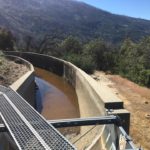
The Browns Ditch Flume is an old water diversion that begins on either Browns Creek or the south fork of Willow Creek depending on the map you have and spills out near the south end of Bass Lake. It has become a very popular hiking trail due to its close proximity to the lake as well as the picturesque views that can be had along the way. The Flume is claimed to be the private property of the Pacific Gas & Electric Co. and is posted in several places with “no trespassing” signs but that’s doing little to discourage hikers from walking the dirt path along the flume or from the steel catwalks atop the structure.
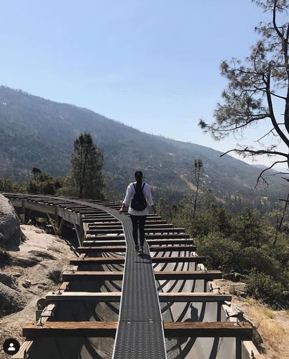
Re-posted from Instagram by @sammerzz_
This nearly 5-mile hike rates 4/5 on All Trail website. It takes approximately 2-3 hours to complete it.
The relative ease of the hike and striking views of the mountains make it a popular destination but it is not without its risks. If you don’t like heights or walking on a narrow metal grid on top of a flume as it crosses over several deep ravines, sit this hike out. While you can get by walking beside or underneath the flume for most of the hike, there are potions that are too steep and require you to navigate a roughly foot wide metal grate walkway on top. There are no handrails so balance is a required skill but if you brave the trip you will be rewarded with beautiful views of the surrounding mountain landscape.
There are no handrails so do not try to hike with children or pets. While you will be able to enjoy breathtaking views of the forest, most of the hike is out in the open, so there is no shade along the way. Also, DO NOT attempt to hike it in wet or slippery conditions.
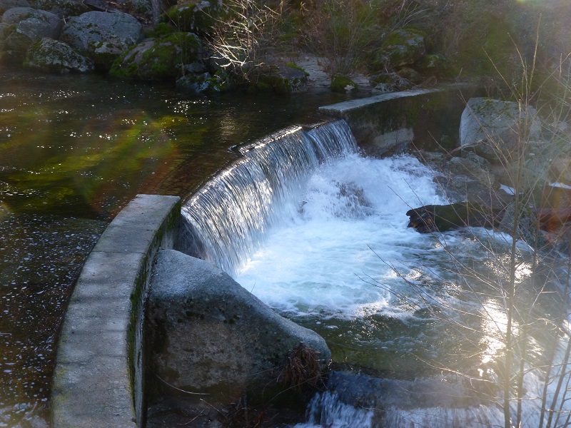
Source: Sierra News Online – Adventures with Candance.
If you intend on starting at the top and heading down then park in the dirt lot opposite from where Central Camp road meets road 274. Hike up Central Camp for about 1 mile then turn right at a gated dirt road and look out for a good spot to get down to the creek. This should be the south fork of willow creek and where browns ditch originates should be down stream a short way.
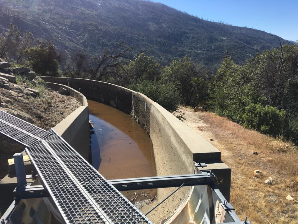
Source: Greengopost.com
For step by step picture filled report, visit Sierra News Online.


Comment
Great information, thank you.